


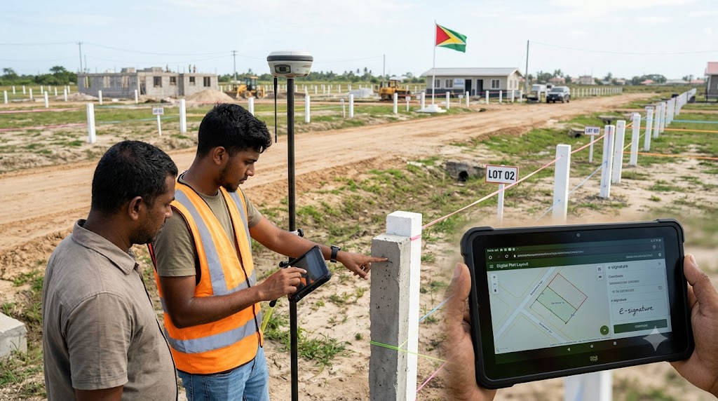
Guyana is preparing to introduce a digital land-mapping system that could help prevent house-lot disputes by giving land allottees clearer records of their property's location and boundaries.
The Central Housing and Planning Authority (CH&PA) plans to roll out the new georeferencing system in November 2026, using digital tools to document the process of showing allocated house lots to prospective homeowners. The system is currently being tested ahead of its planned introduction.
Under the new process, surveyors will record each lot’s coordinates using a tablet, take photographs and obtain an electronic signature from the allottee confirming that the property has been shown to them. Surveyors must also identify all four corner posts so recipients have a clearer understanding of their land boundaries.
Housing Minister Collin Croal said the system is intended to address cases in which people view their lots but later become uncertain about the exact boundaries when they are ready to build. Digital records are expected to provide a reference point for both allottees and the authority.
The system is planned for implementation across all 10 administrative regions of Guyana. Initially, CH&PA will contact allottees who have paid at least 50% of the required amount to arrange property viewings.
The initiative forms part of a broader effort to use technology to improve transparency, record-keeping and service delivery in public administration. If implemented effectively, it could reduce avoidable confusion, improve accountability and give homeowners more confidence when preparing to build.
Guyana’s digital land-mapping rollout could make the house-allocation process more transparent but clear records and consistent implementation will be essential to its success.



Comments (0)
Sign in to join the conversation.